Fort Robinson Image Page 1
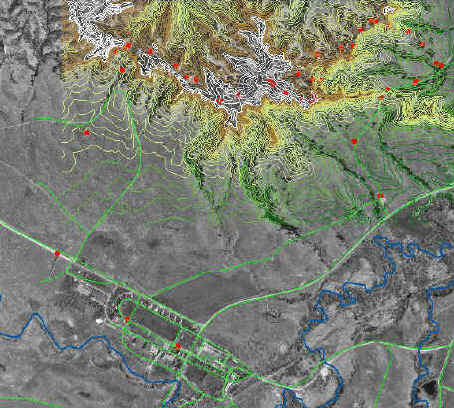
Here are some examples of the maps we are working on. This map shows the area of Ft. Robinson and the bluffs to the NE. The light green lines are roads from Census Bureau TIGER files, the blue waterways, and the red dots are GPS points we took along trails on the bluffs.
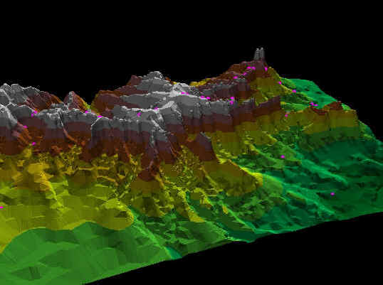
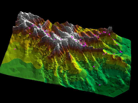
These images show what can be done with 3-D visualization. These images are of the same bluff area NE of the Ft. Robinson lodge. The pink dots are GPS measurements we made to locate trials at the Fort.
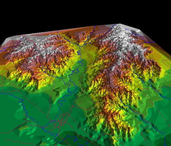
The whole State Park, laid out in virtual 3-D, notice roads and water features. This area covers about 22,000 acres.